
Rain helps with Washington’s poor air quality
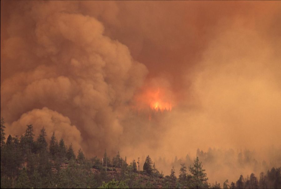
Washington wildfire. Photo courtesy of CWU Flickr
October 26, 2022
After Seattle measured the worst air pollution in the world Thursday, Oct. 20 according to IQAir due to wildfire smoke, a few days of rain over the weekend helped bring the air quality back to more normal levels.
Much of the smoke that affected Seattle’s air quality came from the Bolt Creek fire which is currently about 67 miles away from the Seattle area.
Uncharacteristically dry and warm weather in the month of October has been the cause for many of the fires still burning in Washington. Temperatures hovered around the high 70s to low 80s for the early portion of October.
According to the U.S. Drought Monitor, as of Thursday, Oct. 20 most of western Washington was in a severe drought. Approximately 56% of Washington state is in a drought. The lack of rain has been present in Washington since mid July.
Doctor Megan Walsh, a geography professor at CWU, said that much of the unusual weather patterns that Washington is currently seeing is a result of the Polar jet stream.
“The jet stream is very much determining what’s happening here in the Pacific Northwest,” Walsh said.
Walsh said that changes in the jet stream are constant and it is what brings storms as well as dry weather to Washington. According to Walsh, the Polar jet stream has had a ridge in it since the start of summer, essentially causing dryer weather in Washington.
“We have a ridge in the jet stream, which basically blocks any precipitation from coming here.”
Walsh said the ridge in the jet stream is normal for the summer season, but has lasted longer into the fall season this year.
According to Walsh, at this time in October, Ellensburg is used to seeing 17.4 millimeters of rain. This year Ellensburg has only seen 2.5 millimeters of rain.
“Normally by this time in October we are starting to get our typical winter weather,” Walsh said. “ We have finally gotten our first one over the weekend, but it got a late start this year.”
Walsh said east winds that bring dry air and heat from the continent are part of the reason that Washington is seeing such dry weather in October. This dry weather has had a big impact on the wildfires that are still burning west of the cascades according to Walsh.
According to the Department of Natural Resources (DNR), there are currently 15 large wildfires still burning late into the month of October. The majority of which are on the west side of the Cascade Mountains.
Some of the smoke that clouded western Washington made its way over the cascades last week and was present in the air here in Ellensburg. Via a poll put out by the Observer on instagram, 76% of students said that they had been affected by the air quality in some way.
Walsh said that now that the wind and jet stream have gone back to its normal pattern for this time of year, most of the wildfires on the west side are under control.
Walsh said that the question of climate change and the correlation it has with these weather patterns is more complicated than people think.
“Is climate change causing this fall that we are having right now?” Walsh said. “No, it’s not, but it’s causing this greater variability that we see from one year to the next.”